
Collect
High-accuracy point, line, and polygon data collection
Overview
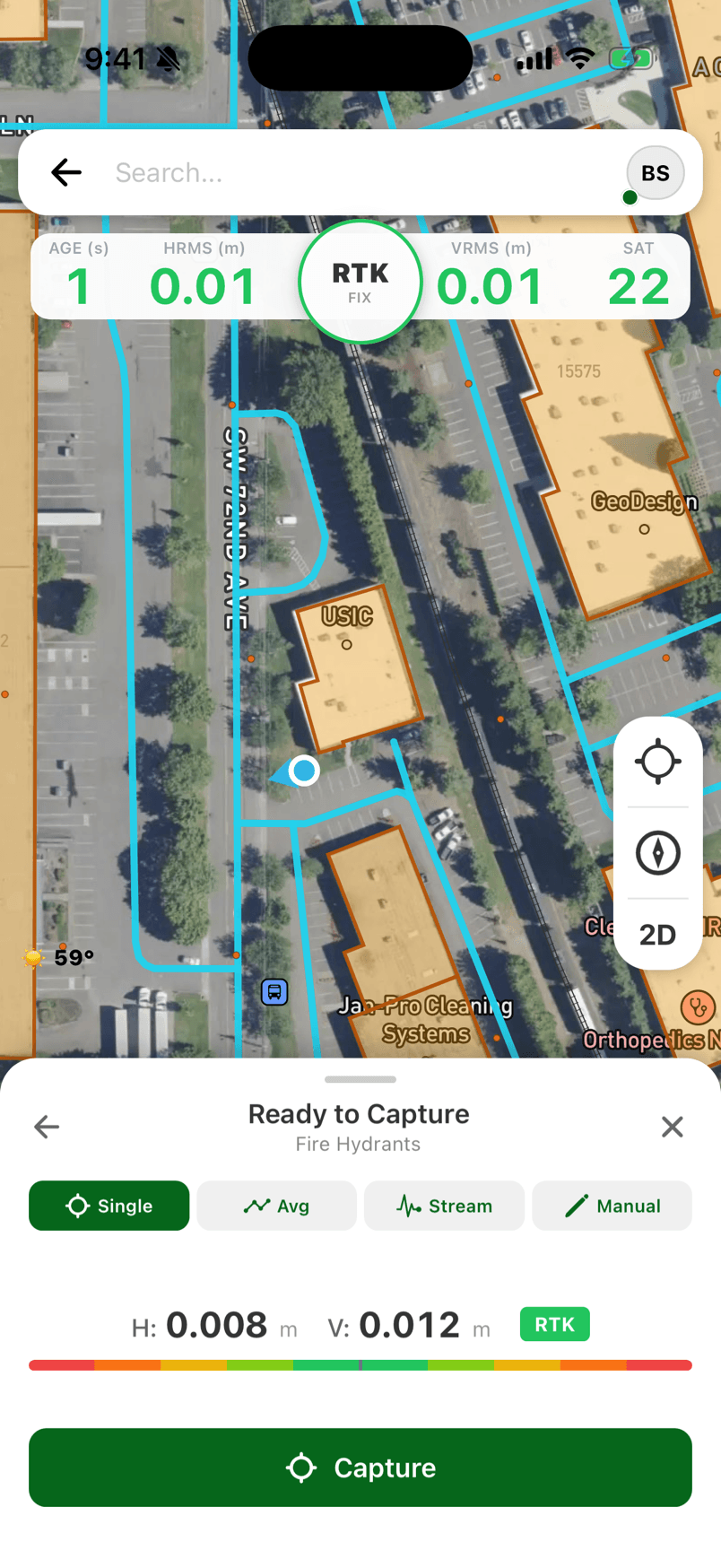
The Collect workflow is the foundation of FastXY. Use your mobile device's internal GNSS or an Eos high-accuracy GNSS Bluetooth receiver for high-accuracy data collection
Whether you're mapping assets, collecting field data, or building GIS datasets, the Collect workflow provides all the tools you need - completely free. Features include attribute pick lists with computational operations, barcode/QR code input, 3D basemap.
Key Features
Mobile device internal GNSS or a high-accuracy Bluetooth GNSS receiver
Use your mobile device internal GNSS or connect Eos high-accuracy GNSS Bluetooth receiver
Points, Lines & Polygons
Collect any geometry type with a 3D basemap featuring terrain and buildings. Import/export CSV and GIS data in many formats.
Intelligent Attributes
Attribute pick lists with computational operations on attributes. Barcode and QR code input for fast, accurate field data entry.
Smart Datum Detection
Real-time datum detection and transformation for RTK, SBAS, and autonomous GNSS. GEOID model support for survey-grade elevations.
How It Works
- 01
Create a Layer
Set up a new layer with the geometry type (point, line, or polygon) and define your attribute fields.
- 02
Connect Your GPS
Use the internal GNSS receiver or Bluetooth GNSS receiver for higher accuracy. FastXY auto-detects your receiver's datum.
- 03
Collect Features
Tap to collect points, trace lines by walking, or define polygon boundaries. Fill in attributes as you go.
- 04
Export Your Data
Export to Shapefile, CSV, KML, GeoJSON, or other formats. Share via email, cloud storage, SMS, Slack, Teams, Meet or transfer directly.
What's Included (Free)
Get Started
Download FastXY free and start collecting data today.